


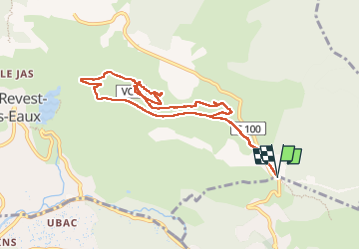


14,1 km | 21 km-effort

Utilisateur


Application GPS de randonnée GRATUITE
 SityTrail
IGN / Instituts géographiques
SityTrail World
Le monde est à vous
Randonnée Marche de 9,7 km à découvrir à Provence-Alpes-Côte d'Azur, Var, La Valette-du-Var. Cette randonnée est proposée par Daniel.BRUN-PICARD.
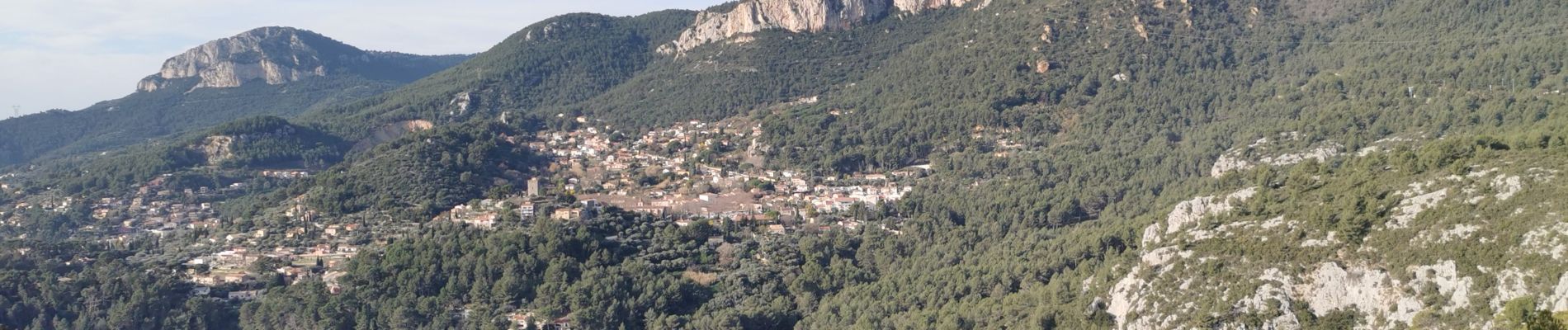
Randonnée découverte d'anciens villages et hameaux. Merci à l'animateur du Touring Club du Var qui nous a guidé et donné quelques explications historiques.


23 photos au total. Cliquez sur une photo pour les afficher toutes dans la galerie.

Marche

Marche

Marche

Marche

Marche

Marche

Marche

Marche

Marche